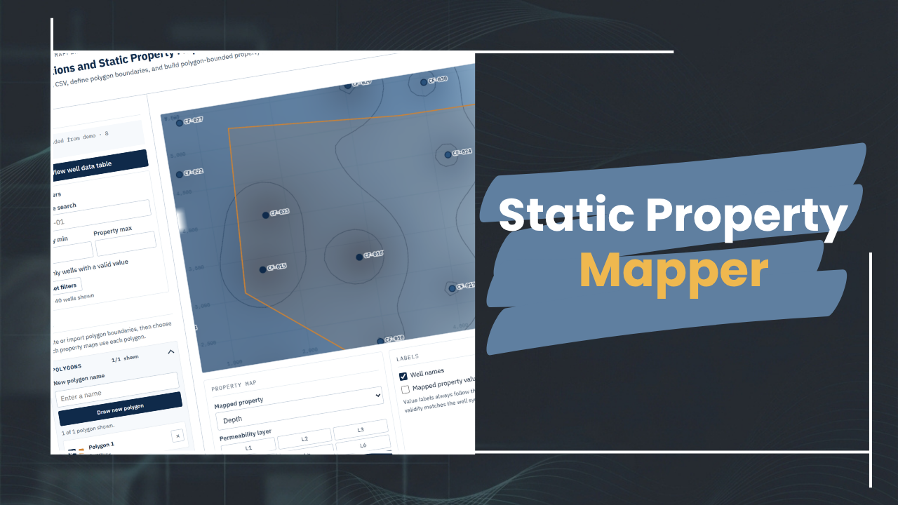
Map wells from a CSV onto an interactive 2D coordinate view and generate interpolated property surfaces for depth, pressure, and permeability layers. Switch between properties, inspect wells and values, apply filters, view statistics, and create filled colour maps or contour lines using IDW interpolation. Not meant to replace dedicated gridding or mapping software, but to provide a simple front-end interface to your Excel files for easy inspection of static well data.
🧩 Interactive app